The bendy bus benchmark
Mobile survey sets groundwork for articulated buses in windy and wild Wellington

Increasing capacity of the Wellington, New Zealand public transit was challenging due to the lack of highly skilled drivers and infrastructure limitations.
Extra-length articulated (bendy) buses offered a potential solution—if they could navigate existing infrastructure. This included a tunnel, steep and windy terrain, lush vegetation and other fixed infrastructure (e.g., sidewalks, bus stops, corners). A time-sensitive, real-time survey of the bendy bus was needed.
Navigation engineering and 3D spatial scientists at GPSat were called in when conventional survey techniques could not meet the Wellington Council’s requirements for accuracy and the project schedule. Over the course of two nights—during a torrential horizontal downpour—the GPSat team captured and then analysed the data within a week.
GPSat provided the Council with a highly accurate, sub-centimetre map of key points along the bus route. The success of the Wellington project has established this type of survey data collection as a benchmark for future bus route surveys—with or without bendy buses.
“The Council compared the data to their manually surveyed CAD drawings and found excellent alignment and accuracy. With this, they have the data to support actionable outcomes.”
What you will learn
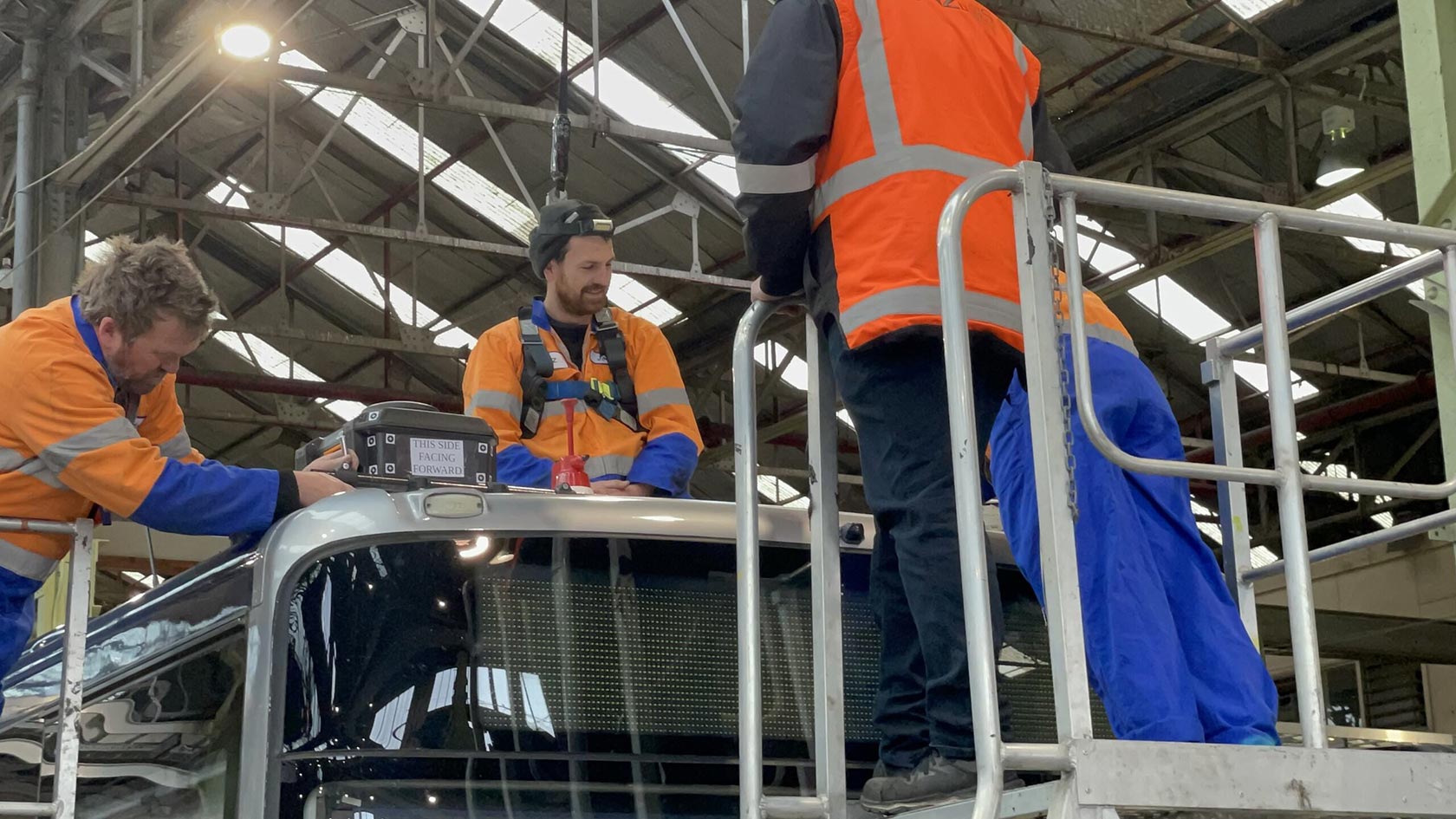
This article details how the engineers at GPSat conducted the articulated bus survey using PwrPak7 SPAN GNSS+INS solutions on top of the bus. With the sensors positioned at the front and back and antennas on each of the four corners, they had the location and orientation throughout the path of movement.
GPSat also set up PwrPak7 base stations to leverage the multi-constellation, multi-frequency capability and used photo modelling software to recreate a highly accurate 3D environment that was then tied to the SPAN solution and help determine distances. They then used Waypoint Inertial Explorer post-processing software to process data from the base stations, SPAN and vehicle referencing.
Setting up NovAtel’s SPAN GNSS+INS solutions and antennas on top of the articulated bus.
Read the full article by downloading Velocity 2024

Contact our team of sales experts for more information.